Where Is the Klondike?
A geographic overview of the goldfields
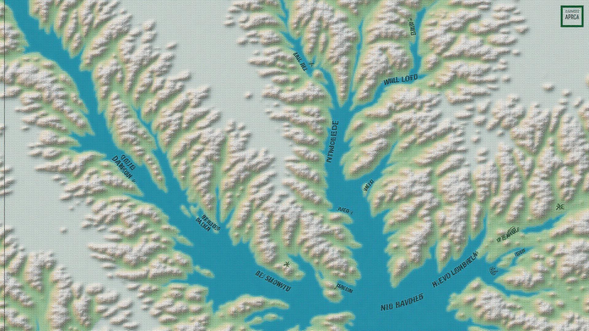
Location and Setting
The Klondike district lies around Dawson City, Yukon, at the confluence of the Yukon and Klondike rivers. This strategic location made Dawson the natural supply hub for the upper Yukon basin and the gateway to the goldfields.
The Gold-Bearing Creeks
Gold-rich tributaries like Bonanza, Eldorado, and Hunker radiate from King Solomon's Dome, a topographic high that served as the source area for the placer deposits. These creek valleys became the focus of intense mining activity.
River Transport Network
Historic river transport (and later rail to Whitehorse) made Dawson the supply hub for the upper Yukon basin. Sternwheelers plied the Yukon River carrying supplies upriver and gold downriver, creating a lifeline that sustained the goldfields through their boom years.
Climate and Terrain
The subarctic climate creates extreme seasonal variation: long, frigid winters with permafrost and brief but intense summers. This climate shaped mining methods, with winter shaft-sinking through frozen ground and summer sluicing when water flowed freely.